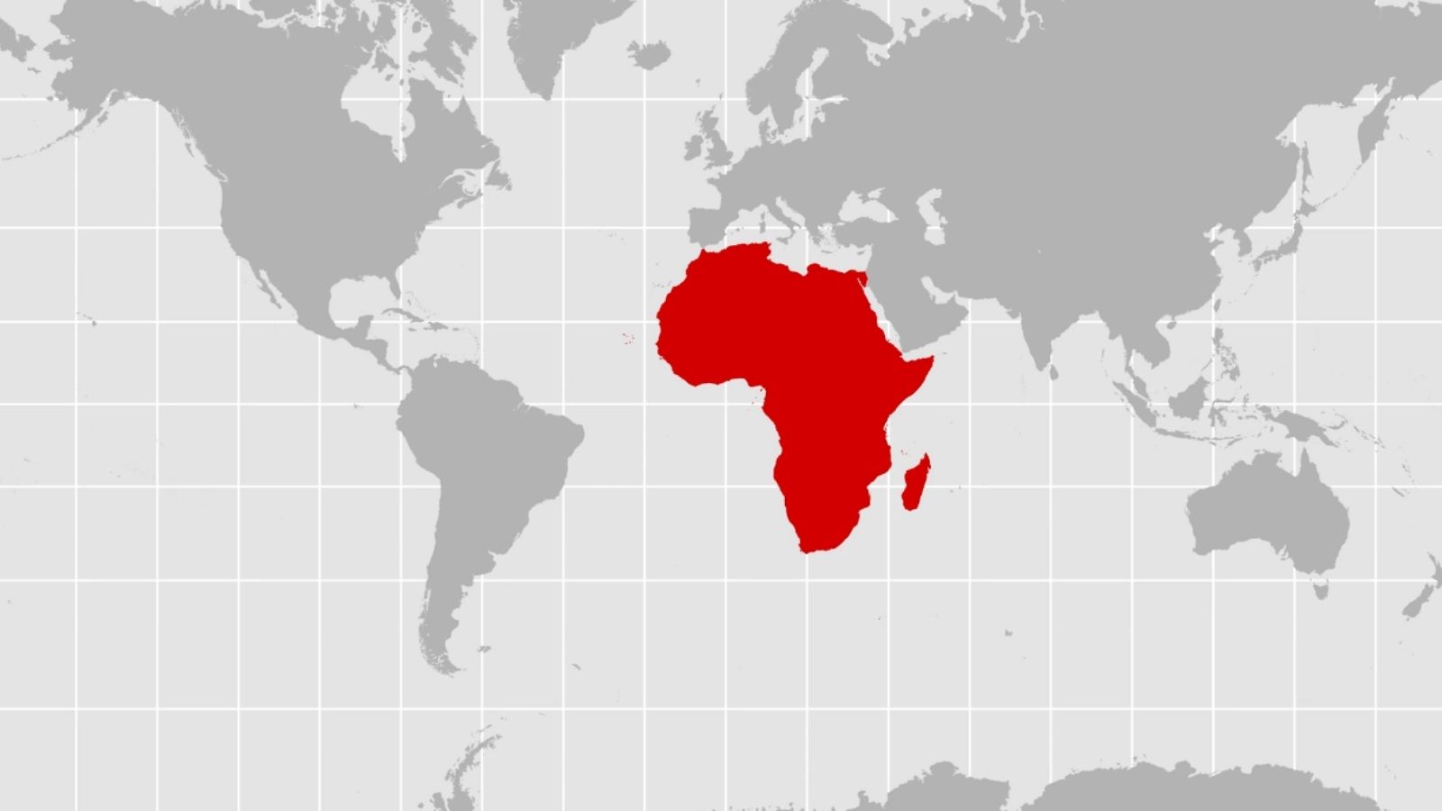








UN Votes to Adopt Accurate World Map Projection

On Fiday, 4 September, the United Nations General Assembly voted 164-1 to adopt a resolution replacing the traditional 16th-century Mercator projection with accurate equal-area maps like the 2018 Equal Earth design.
The United States (US) was the only nation to vote against the measure, while six countries abstained.
Championed by Togo and supported by the African Union, the non-binding motion aims to correct centuries of cartographic distortion. Designed in 1569 for sea navigation, the Mercator map enlarges polar landmasses while shrinking equatorial areas. Consequently, Greenland appears equal in size to Africa, despite Africa being 14 times larger and spanning 30.3 million square kilometres.
Togolese Foreign Minister Robert Dussey stated: “A map is never neutral. It shapes perceptions, influences how the place of peoples and continents in the world is understood.”
He added: “A fair world begins with a fair map.”
Critics argue Mercator maps reinforced “cartographic colonialism” and distorted global perceptions regarding Africa’s resources, population, and development needs. France backed the motion, announcing it will abandon Mercator for the Eckert IV projection.
Conversely, US representative Yaryna Ferencevych dismissed the debate, arguing the resolution is “the reason this institution is losing its credibility.”
Image Credit: Source